


9.7 km | 15.3 km-effort


User


FREE GPS app for hiking
 SityTrail
IGN / Geographical institutes
SityTrail World
The world is yours!
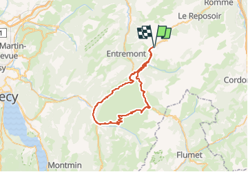
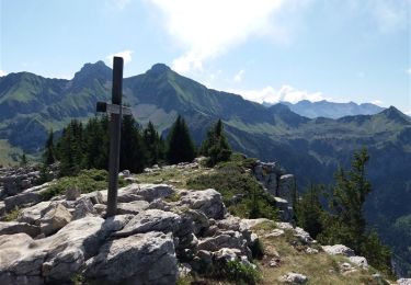
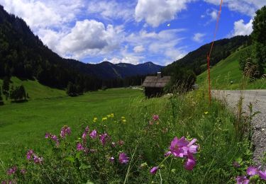
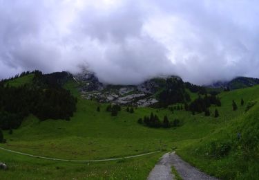
Trail Electric bike of 50 km to be discovered at Auvergne-Rhône-Alpes, Upper Savoy, Le Grand-Bornand. This trail is proposed by jb.sattler.
grand tour en 3 montées distinctes, Grd Bo , la Clusaz, Croix Fry, Thones - Sixt et retour chalet -fait avec Dadou le12/09/2022,Tb temps,en éco jusqu'au Tunnel sur rte croix Fry, tB descente sur Thones, super rte pour remonter sur Sixt , sans voitures et Chinaillon.
Arrivée avce 1 km d'autonomie
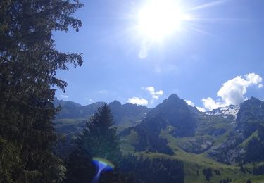
Walking

Walking
Mountain bike
Mountain bike
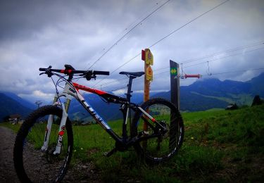
Mountain bike
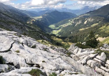
Walking
Mountain bike

Walking

Walking